earthkit-maps
stable

Documentation

  • API Reference

Examples

  • User guide
  • Gallery
    • Built-in named domains
    • Polar stereographic projection
    • Nearside perspective projection
    • User-defined domain
    • Cities in Japan
    • Blue marble JPEG over the Arctic
    • Country labels over Europe
    • Customising ancillary layers
    • Customising gridlines
    • Adding custom shapefiles
    • Temperature and pressure
    • Hatched shading
    • Ozone - 2x2 grid layout
    • El Niño-La Niña comparison
    • Wave direction - categorical
    • Forecast steps

Installation

  • Installation
  • Development
  • License
earthkit-maps
  • Gallery
  • Edit on GitHub

Gallery

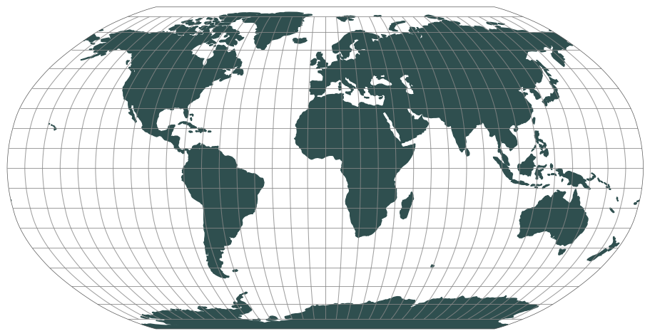
Domains and projections

Built-in named domains
Polar stereographic projection
Nearside perspective projection
User-defined domain

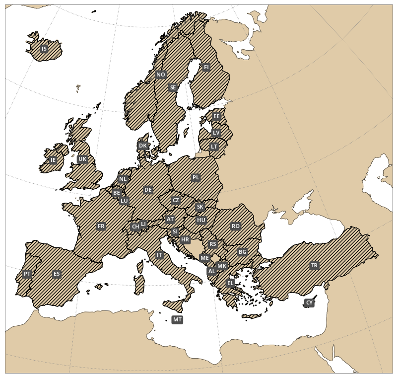
Ancillary map layers

Cities in Japan
Blue marble JPEG over the Arctic
Country labels over Europe
Customising ancillary layers
Customising gridlines
Adding custom shapefiles

Visualising gridded data

Temperature and pressure
Hatched shading
Ozone - 2x2 grid layout
El Niño-La Niña comparison
Wave direction - categorical
Forecast steps
Previous Next

© Copyright 2023, European Centre for Medium Range Weather Forecasts. Revision e9dbed2e.

Built with Sphinx using a theme provided by Read the Docs.