Adding custom shapefiles
[1]:
!wget https://gisco-services.ec.europa.eu/distribution/v2/nuts/shp/NUTS_RG_20M_2021_4326_LEVL_0.shp.zip
--2023-12-12 11:09:32--  https://gisco-services.ec.europa.eu/distribution/v2/nuts/shp/NUTS_RG_20M_2021_4326_LEVL_0.shp.zip
Resolving gisco-services.ec.europa.eu (gisco-services.ec.europa.eu)... 13.69.248.157
Connecting to gisco-services.ec.europa.eu (gisco-services.ec.europa.eu)|13.69.248.157|:443... connected.
HTTP request sent, awaiting response... 200 OK
Length: 71465 (70K) [application/zip]
Saving to: ‘NUTS_RG_20M_2021_4326_LEVL_0.shp.zip.14’

NUTS_RG_20M_2021_43 100%[===================>]  69.79K  --.-KB/s    in 0.02s

2023-12-12 11:09:35 (2.75 MB/s) - ‘NUTS_RG_20M_2021_4326_LEVL_0.shp.zip.14’ saved [71465/71465]
[ ]:
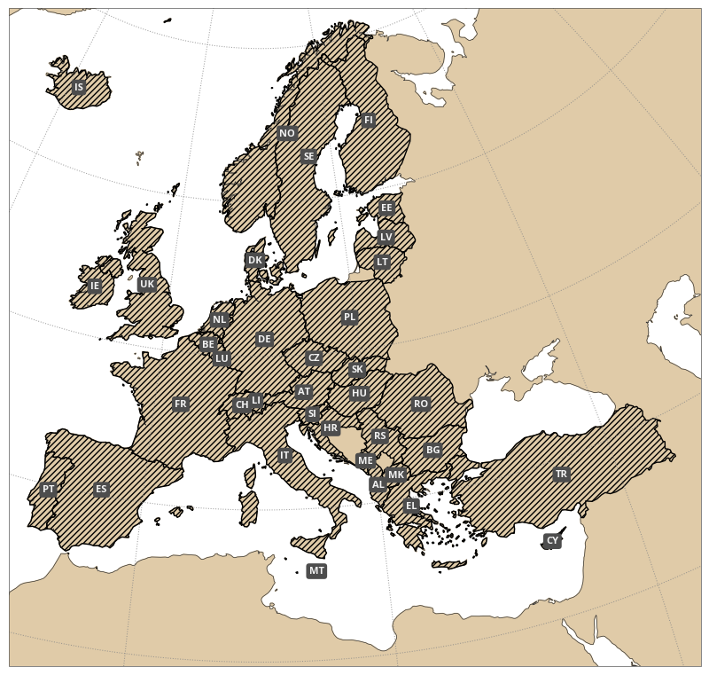
import earthkit.maps

chart = earthkit.maps.Chart(domain="Europe")

chart.land()
chart.coastlines()

chart.shapes(
    "NUTS_RG_20M_2021_4326_LEVL_0.shp.zip",
    hatch="/////",
    edgecolor="black",
    labels="NUTS_ID",  # name of attribute to use for labels
)

chart.gridlines(draw_labels=False)

chart.show()